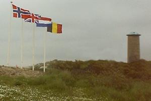
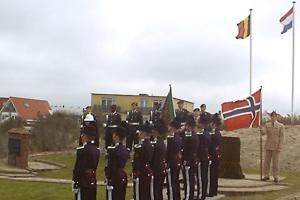
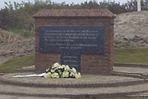
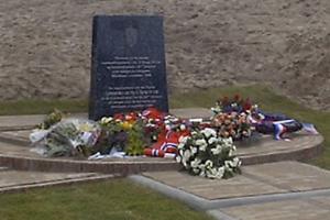
The little Bats-bunker
 |
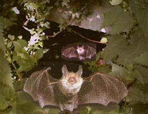 |
*
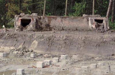
About the little bats-bunker
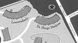
behind "De Hooge Duijnen"
the whole story.
(Pro Memory: directly opposite the entrance
of the building 'The High Duijnen'
in former days was another bunker
annoyingly in the way.
So he was demolished.)
Breskens and Flushing, at the mouth of the Schelde, the waterway to Antwerp,
by 1944 had been developed and heavily reinforced by the Germans.
Apart from that, the whole of Walcheren had been made into one large fort:
"one of the strongest fortifications in the world".
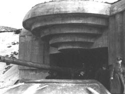
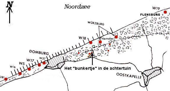
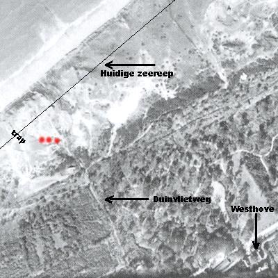
Heavy batteries had been set up in the dunes, in and on the banks of the dikes, mostly placed in gigantic concrete casemates. In addition to that there were still a very large number of batteries situated inland in open artillery formation and also in heavy concrete casemates, with the capability of laying down a creeping barrage over the sea and beaches. This area also contained the command posts, radar installations and was heavily mined.At the end of Duinvlietroad was an important German support position (code name Hamster) stretched out along the foreshore, from the beach-approach 62 (Westhove) to the (present-day) beach-approach 64 (Berkenbosch).
The Germans had placed here:
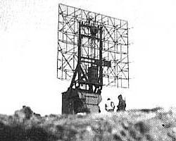
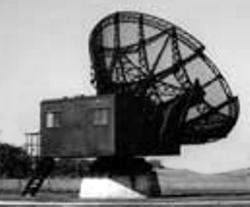
One Freya: long-distance radar with a range of 120 km (Screen of 9 x 6 meters).
Two Giant Würzburgs: parabola antennae (7.5 meters diameter) (range 20 - 40 kilometers).
Two Small Würzburgs: (range 25 kilometers) with accompanying batteries, searchlights and anti aircraft guns and one radio command post.
Each unit contained 50 men.
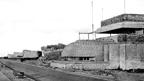
A heavy command bunker (type 616) was placed in the village of East Chapel (Oostkapelle).
Bunker type 616
All of this structure was intended to intercept allied air forces en route to Germany and was an integral part of the Atlantic Wall which had been constructed to counter any attempted invasion.
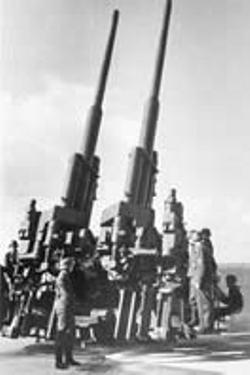
German Flak (anti-aircraft artillery)
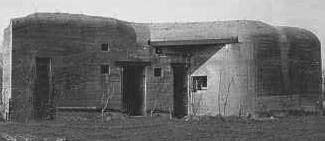
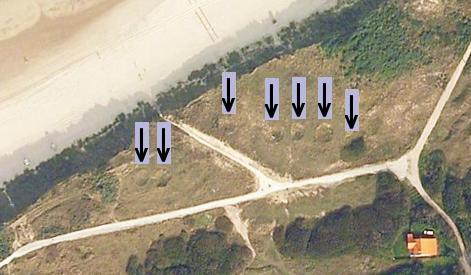
German W18The forestpath from the Duinvlietroad (laid behind a wooden “slap hedge”) was constructed as an ammunition road and all access points were heavily guarded. In the immediate vicinity of Veldzigt small secondary bunkers were built, one of these was the ‘bats bunker’. A small narrow gauge railway was laid to the Manteling which carried materials for bunker building and then became the supply line for heavy ammunition to the bunkers. All of this area was, as usual, heavily mined .
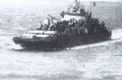
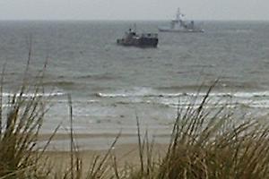
Walcheren was saturated with anti aircraft artillery and Flakboats patroled the Zealand coast.
German Flakboat in the Zealand waters.
In the area beyond Duinvlietweg, the (open) battery W18 was situated containing: 4 pieces of heavy coast artillery (88 mm) and 4 pieces anti aircraft guns (94 mm). East of this was W19: heavy coast artillery (4 pieces of 105 mm each) in 4 casemates + radar + searchlights.
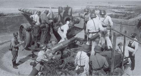
Near Domburg: W37 was situated comprising a coast battery with 4 guns (150 mm) and W17 an open coast battery 4 with guns (220 mm).
One of the four pieces 220 cm artillery near Domburg (W17)
Further: W5: anti aircraft battery with 4 guns (94 mm), W16: coast battery with 3 Lt guns, and W281 a support point. Here there were also sheds, air-raid shelters, ammunition bunkers, barricades and minefields.
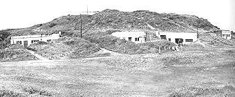
Also from the High Hill several bunkers stick out .
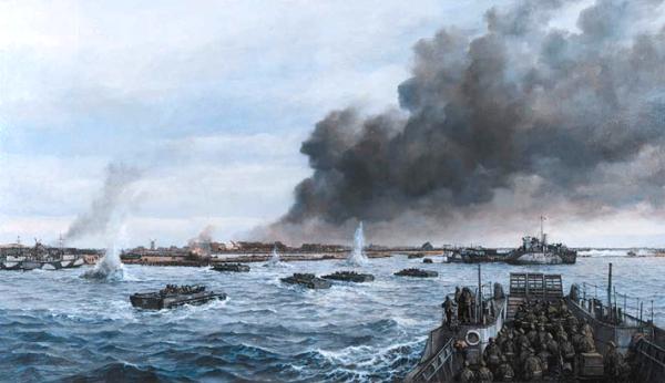
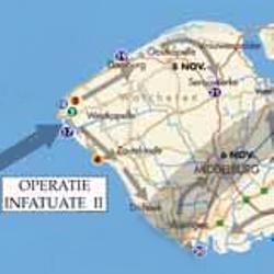
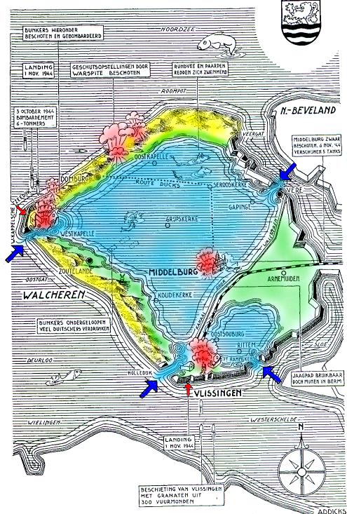
The concrete artillery-bunkers on the coast of Walcheren in October 1944 underwent repeated heavy bombardment by the Allied air forces, but it proved difficult to eliminate these targets. So that when landing "Infatuate II" on 1 November 1944 by West Chapel (Westkapelle) 10 vessels were destroyed by fire from the heavy coast batteries W13 and W15, resulting in the deaths of many of the landing forces. A successful landing was made due to W13 exhausting its ammunition.
W15: coast battery (4 pieces of 94 mm, in casemates)
W13: coast battery (6 pieces of 150 mm, 4 in casemates, 2 in open placing).
W15
on the Westkappelse dike, consisting 4 casemates
each with 94 mm guns.The W14 (coast battery 2 casemates, 2 open) and W38 (open field artillery) were both overrun (inundated)
(W284, W289, W285, W286 were points of support.)
Fire control post West Chapel.
Only 2 of the 26 artillery pieces in the Westkappelse landing area before the landing (which took place from Oostende) were eliminated by the air bombardments.
The landing of the allied forces on the coast of West Chapel (Westkapelle) was therefore faced with tremendous opposition and very heavy losses...
"Infatuate II"
West Chapel (Westkapelle)
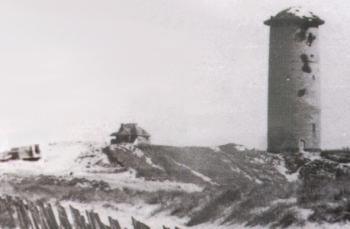
Painting in the City Hall Veere (in Domburg)The British 41 Marine Commando that had fought its way north after landing was held up after taking Domburg. German snipers in the water tower shot at everything that moved so a hard firefight took place with a lot of casualties amongst the attackers in the dunes.
With the arrival of tank reinforcements the attack moved on and commenced an assault on battery W18 that lay in the dunes behind the castle Westhove. On the 5th. November in the face of considerable opposition the force fell back on Domburg and regrouped with Norwegian and Belgian troops before once again attacking the batteries with success on the 6th. November. The German troops surrendered but the fight for Manteling lasted another three days. The German defence system within the forested areas had been well organized and with a large minefield system proved very difficult to penetrate.
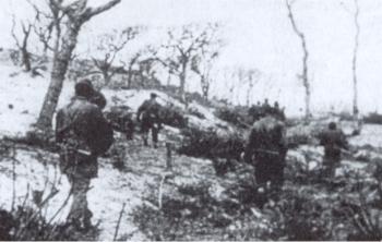
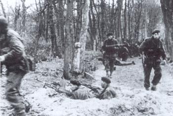
The mopping-up operation of the woodland between
Domburg and East Chapel (Oostkapelle)A tough task on 6 November, which tested determination,
courage and perseverance, as everywhere camouflaged German
machine-gun positions threatened death to any incautious movement.
Belgians arrive in the Manteling to relieve the Norwegians.
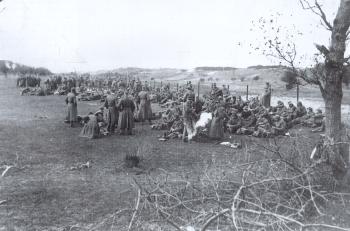
Collected German prisoners-of-war in the dunes near W19
north of East Chapel (Oostkapelle)
(8 November 1944).
Domburg 4th May 2005
